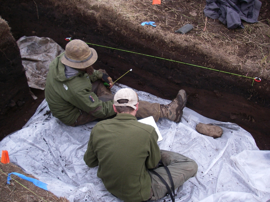

Being a scientist really appealed to me because I was really excited about the opportunity to be curious about the world and to try to answer questions that interested me about the natural world.
Amanda Koltz - PolarTREC 2012 Predatory Spiders in the Arctic Food Web

One of the most challenging things about being a teacher is to get students truly interested in what they're learning.
NIck LaFave - PolarTREC 2012 Predatory Spiders in the Arctic Food Web
One of the most rewarding things about being a scientist is the discovery of new knowledge. You get to go out and ask questions that nobody has asked before, use your imagination to see the world around you and become excited about discovering new knowledge and new ideas.
Michael Sheriff - PolarTREC Predatory Spiders in the Arctic Food Web